Hi,
The below flight is over a highway about 3.5km in length. The flight was completed with a DJI M300 RTK with RTK enabled. It was broken up into two sections. The redline in the first photo shows the break in the flights. Is this a drone issue or a Pix4d issue? Thanks

Hi rpas2,
Can you attach your quality report to this posting? We can take a look to see what might be going on.
Hi Mike,
Thanks for coming back.
22628 report.pdf (126.1 KB)
We have managed to semi resolve it by processing it as a model instead of a map. But now several of the photos aren’t matching. Overlap is around 90% and it is on a road, so I struggle to see why it wouldn’t match?

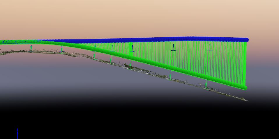
Just to add to this, I have just had it happen on another job. This is one flight. The flight lines go from right to left. There were three lines. I can’t see this as a drone issue as it is matching sections of each flight line correctly?

Hi rpas2,
I would reprocess with the 3D maps template but change the calibration method to Accurate Geolocation and Orientation. It should fix the curve.

1 Like
Amazing Mike. Thank you so much! This has fixed it.