Hi,
I took some images with the Anafi Thermal manually. This images doesn’t have coordinates so I start the project in Pix4D Mapper with a local system.
When I’m processing everything is fine (if I process all the steps all work) until I give 3D coordinates manually (this coordinates come from a total station). After re-optimize my pointcloud it’s hidden and disappears.
I attach a screenshot of the result
and the report
panel_1_ter_report.pdf (257.9 KB)
Hope you could help me.
Best regards,
Joan
Hi Joan, The RMS error also seems to be high. Can you try selecting one of the cameras in the layers panel then select focus on selection button? See the image below for more info. Does the pointcloud appear? If not please respond with the log file.
Hi Momtanu, thanks for your fast help.
I can improve the RMS, if this is the problem I will. It’s only that is the third time I try so I did it fast…
I attach a video doing your advices, but as you will se the pointcloud still hide. Log file is attach too.
Thank you,
Joan
Hi Joan, Can you make sure you are following the right steps? Somehow the GIF was not visible.
The recommended workflow for a project without image geolocation and GCPs is:
- Import the images and select arbitrary coordinate system for the output coordinate system while creating the project.
- Process step 1.
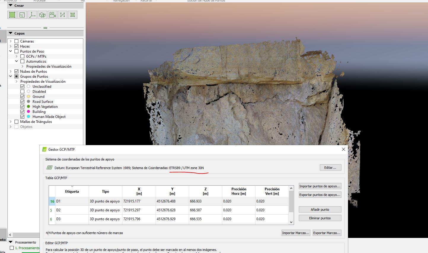
- Import the GCPs, selecting the correct coordinate system for the GCPs (in your case WGS 84). If your GCPs are extracted from a Web Map Service, it is recommended to change their accuracy to 5 m horizontally and 10 m vertically. The default value is 2 cm which is not the case for points extracted from such a service. Underestimating or overestimating the accuracy of the GCPs can lead to inaccuracies or failure. You can find more information about how to change the accuracy here: https://support.pix4d.com/hc/en-us/articles/202557919#label7.
- Mark at least 3 GCPs using the Basic Editor: https://support.pix4d.com/hc/en-us/articles/202560099 and click OK.
- You will be asked if you want to set the output coordinate system (See screenshot attached). It is recommended to select Yes. It is true that the output coordinate system can only be a geographic coordinate system, so in the case of WGS 84 GCPs, the output coordinate system will be the corresponding UTM zone.
- Reoptimize the project.
Do you manage to georeference the model following these steps?
Hi Momtanu,
the issue it’s solved! I followed that workflows before, but as I was adding the 3D GCPs manually in the raycloud, I forgot to select the coordinate system of the GCPs!! -.-’
Thank you for your help!
Have a good day,
Joan