I processed google map tiles and the KML file from a project but opening it in Google Earth Pro shows red crosses over some areas at certain zoom levels.
Has anybody seen that before or knows whats going on?
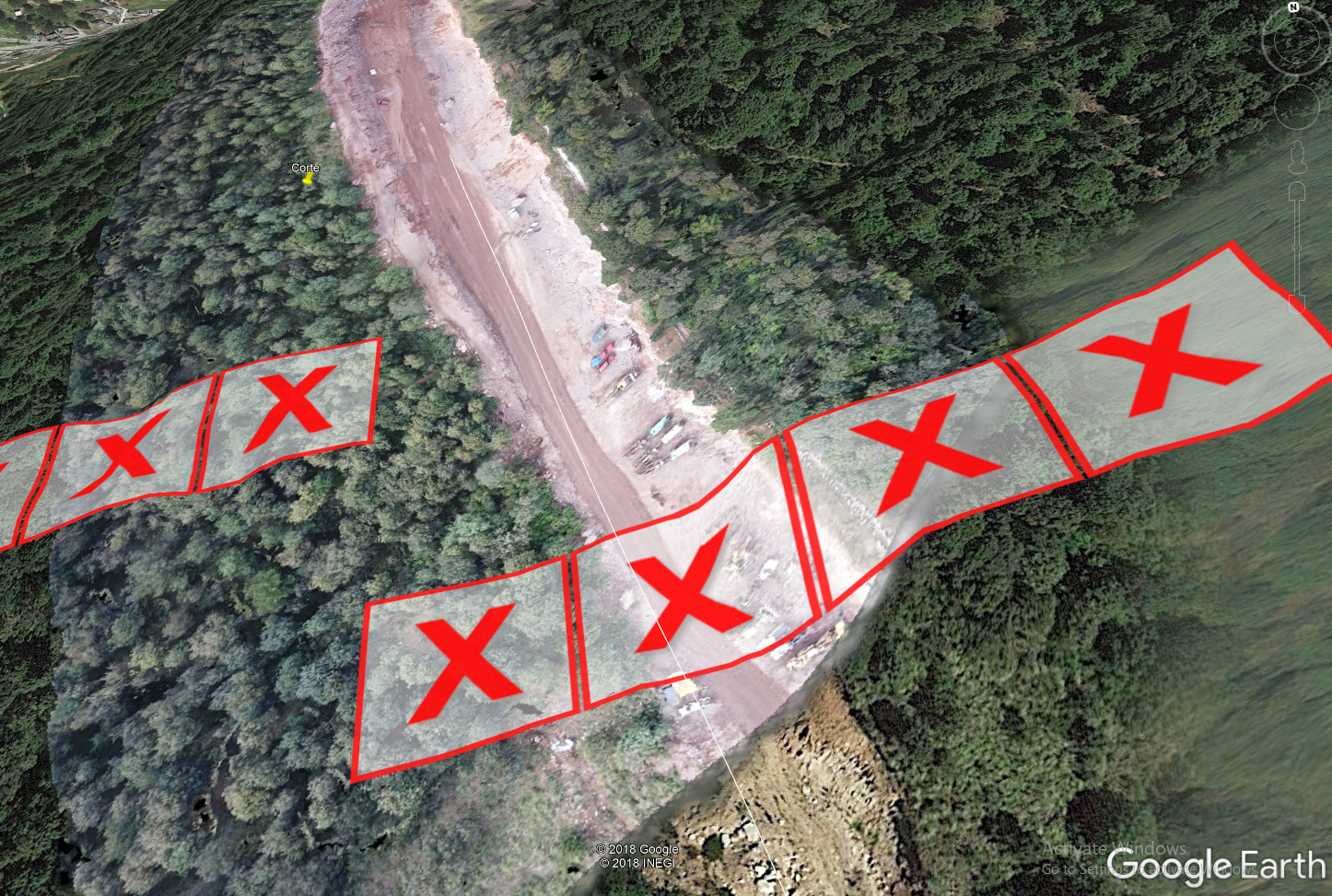
Here is what I mean:
PNG|690x464
Thanks!
I processed google map tiles and the KML file from a project but opening it in Google Earth Pro shows red crosses over some areas at certain zoom levels.
Has anybody seen that before or knows whats going on?
Here is what I mean:
PNG|690x464
Thanks!
Hi,
This is usually happening to image files, not to kml files. Where did you get the file from, could you please specify the computer path? It should match this path: https://support.pix4d.com/hc/en-us/articles/206860936-How-to-generate-the-Google-Maps-Tiles-and-KML
Also make sure the kml file is inserted correctly. Open Google Earth Pro > Open… > locate kml file and select it > done
Cheers,
Teodora