We survey this same area every month with a Mavic 3 Enterprise.
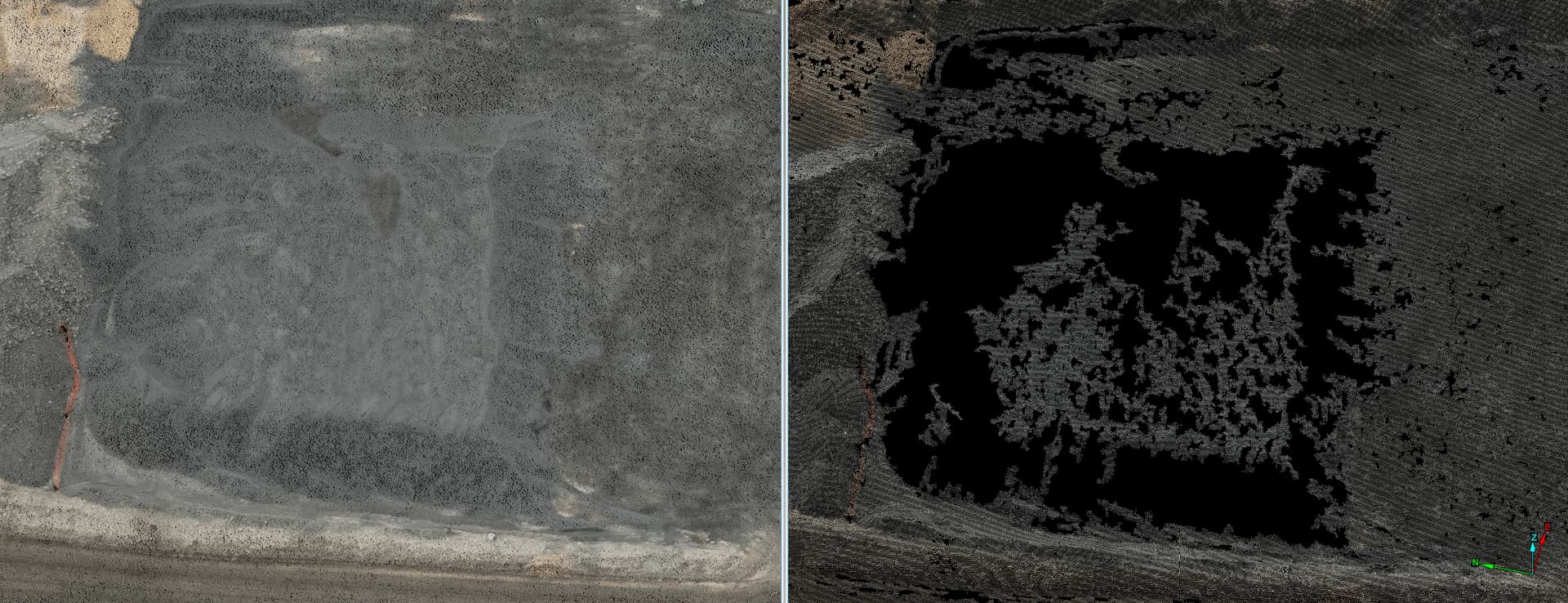
This month we experienced gaping big black holes in the point cloud after processing in Pix4D, seemingly in areas of similar/homogenous texture, however the same has not presented this issue before.
After adjusting several processing parameters including turning on “geometrically verified matching” with no change, we ran the same data through Reality Capture (left image) compared with Pix4D (right image).
Any ideas what could be causing this? We are using Pix4D version 4.8.4. Many thanks!