Hello,
I am uesing Mavic 3M, Orthomosaic with RGB imagery looks completly fine while MS Multispectral imagery doesnt look good at all. Even though the RGB images have the same altittude and very uniform and MS images have very different altittude sometimes with 10 to 15m difference. However, the time that images were captured is exact the same time,
Does anyone is facing the same issue?
Thanks!
Hajo
Hi,
We need to analyse your case specially.
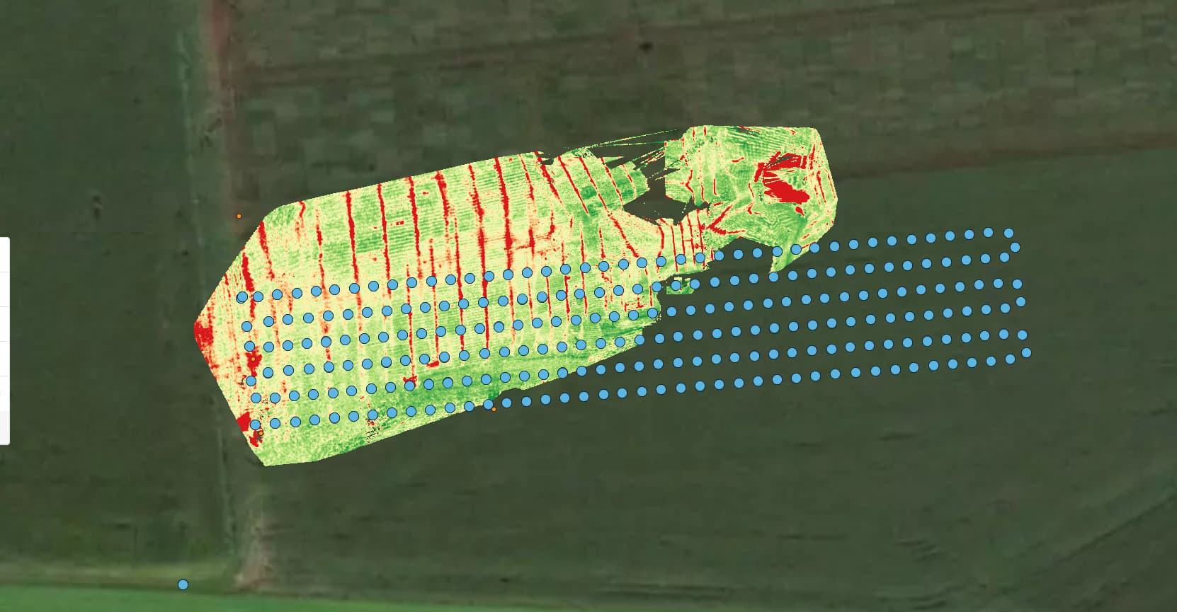
*Can you share a screenshot of the MSP results?
- What overlap did you use?
- Make sure Elevation optimization was not used. Please read How to fly and process the DJI Mavic 3 Multispectral in PIX4Dfields
Hi,
It could be related to the fact that you are flying at a 30 m and the overlap might be insufficient for the MSP images. What software is this screenshot from? What Pix4D software are you using?