To help preserve battery, I took a few photos with my DJI Mavic 2 Pro not in flight. This method didn’t seem to work very well, because the drone frequently became uncalibrated. The EXIF data from some photos therefore erroneously reads as follows:
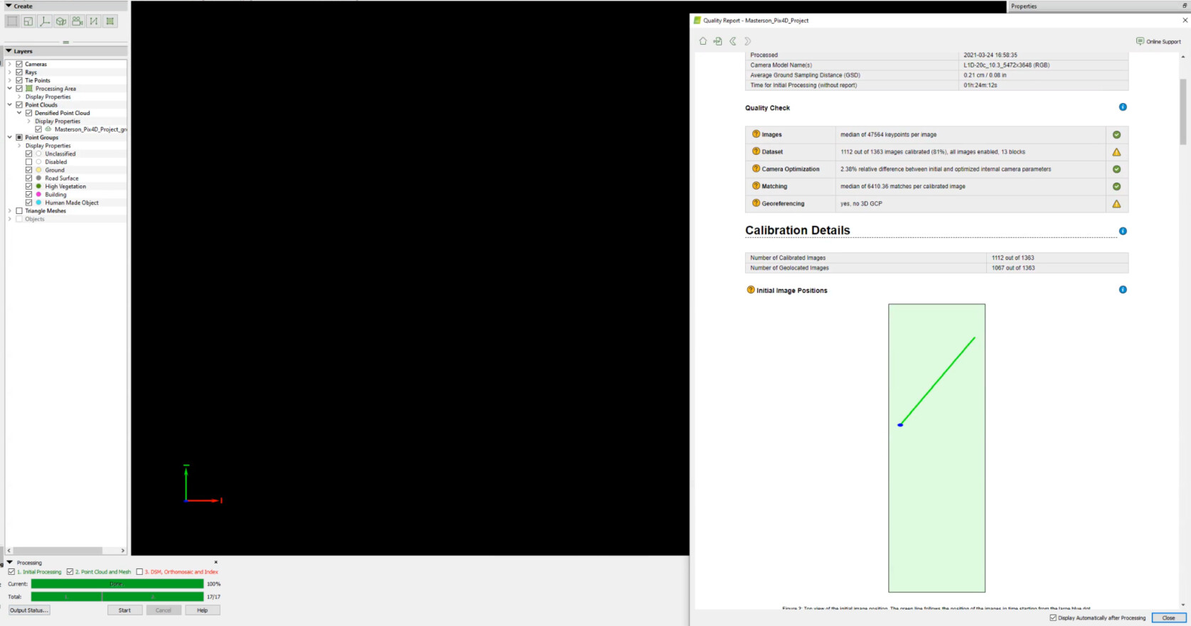
You can see that I tried adding a Processing Area .kml from Google Earth. I figured that the rayCloud camera was very zoomed out, and that was the reason I couldn’t see anything. I tried selecting the Processing Area and zooming into the selection, but this did not work.
Any suggestions? Should I just not incorporate the photos with the bad EXIF data?
I have 4 blocks of data after processing. I’ve been adding manual tie points, hoping to connect the photos of each block. The issue is it seems the only way to add a MTP is by first clicking a point in the rayCloud, and this does not give you all the images to work with, only the few where the ATP that you clicked is visible.
We are glad to hear that disabling the acquisition with no geolocation was helpful to get satisfactory results.
Regarding your second question, I suggest you post directly in the mentioned thread or contact us directly at Pix4D Personal Support. Don’t forget to send the full quality report.
These cookies are necessary for the website to function and cannot be switched off in our systems.
They are usually only set in response to actions made by you which amount to a request for services, such as setting your privacy preferences,
logging in, or filling in forms. These cookies do not store any personally identifiable information.
These cookies allow us to count visits and traffic sources so we can measure and improve the performance of our site.
They help us to know which pages are the most and least popular and see how visitors move around the site.
All information these cookies collect is aggregated and therefore anonymous.
If you do not allow these cookies we will not know when you have visited our site, and will not be able to monitor its performance.
These cookies may be set through our site by our advertising partner (Google).
They may be used by Google to build a profile of your interests and show you relevant adverts on other sites.
They do not directly store personal information but are based on uniquely identifying your browser and internet device.
If you do not allow these cookies, you will experience less targeted advertising.