I want to just change the geolocations( x, y, z) and keep yaw, pitch, roll from EXIF.
How should I do?
I want to just change the geolocations( x, y, z) and keep yaw, pitch, roll from EXIF.
How should I do?
Hi kwali,
Currently, it is not possible to export the geolocation and orientation of the images out of PIX4Dmatic. However, you could load all of the images into PIX4Dmapper and then export the geolocation and orientation. Once exported, then you can manipulate the data and then import back into PIX4Dmatic. Until it is supported in PIX4Dmatic you will have to use PIX4Dmapper for the export.
Hi Mike
I have both PIX4Dmatic and PIX4Dmapper license, and I try with the method you provided.
The orientation format of PIX4Dmapper (omega, phi, kappa) is not the same as PIX4Dmatic (yaw, pitch, roll). So I can’t import back into PIX4Dmatic.
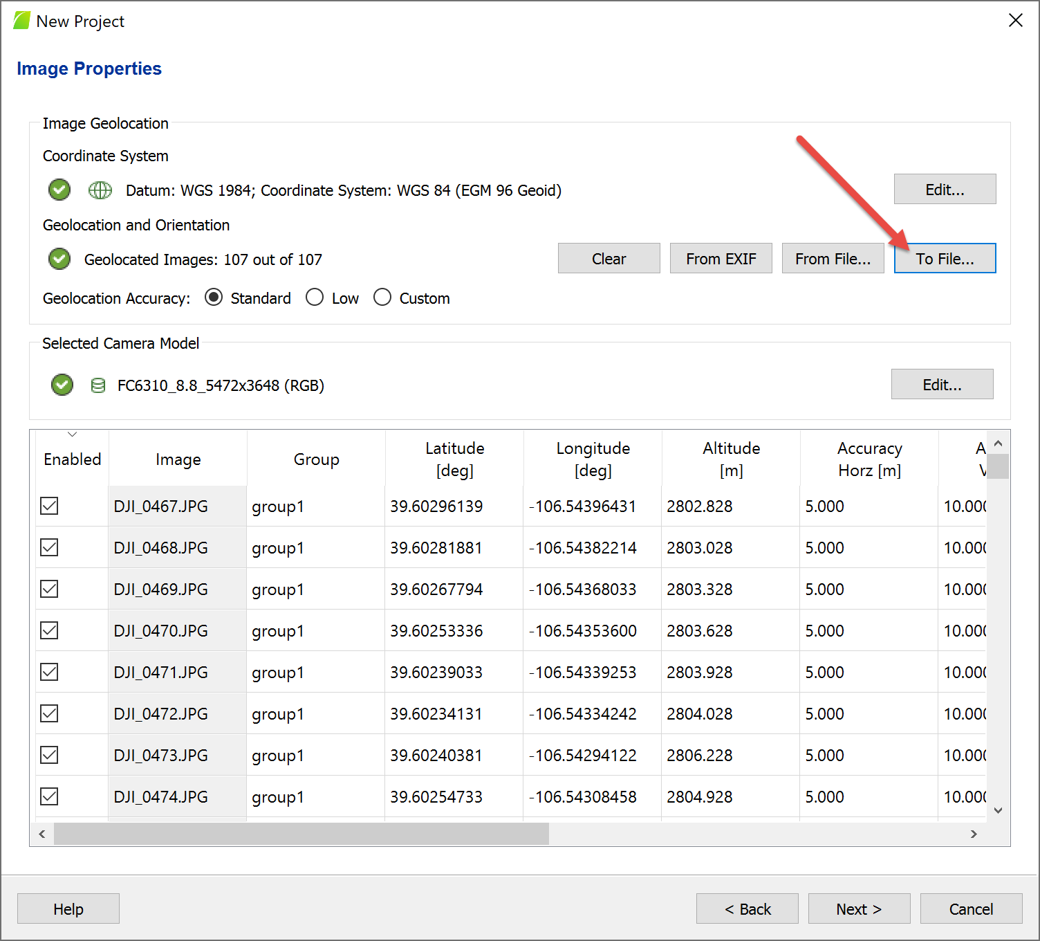
In most cases, we only need to modify geolocation (x, y, z) from EXIF and keep orientation and accuracy value from EXIF. Maybe your team can provide the image geolocation file format and it contains four columns per line like #imagename, coordinate1, coordinate2, z
Many thanks.
Hi kwli,
Try creating a new project in Mapper and then export the image geolocation and orientation. No need to process. It should take the data straight from the image exif. In which case would be y, p, r.
As for the image geolocation file format, the support page you reference lists the format. Let us know if you are looking for something more specific.