I’m working on a large project combining multiple flights by two different drones in Pix4Dmatic. The EXIF altitude data produced by one of the drones is off by about 44m. For most of the flights flown by that drone, there appears to be enough ground control points and enough overlap with other flights to correct the altitude, but in one corner, there is a flight with very little overlap and ground control only along the eastern edge. This is resulting in the southwest corner of my DSM appearing to be much higher than it actually is, and creates a very awkward transition down to the actual ground elevation that looks like it was accomplished with a putty knife. But the appearance isn’t what concerns me… the main product we are after here is contour data, and we need it to be as accurate as possible.

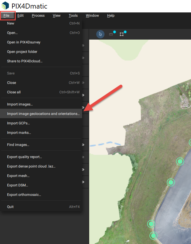
I read that in Pix4Dmapper I can edit the altitude data in the Image Properties Editor, but I can’t figure out how to do that in Pix4Dmatic. Can anyone steer me in the right direction or suggest another method of subtracting 44m from the altitude of hundreds of images?
Alternatively, can this discrepancy be overcome by simply adding more ground control points?
Thanks in advance for any advice you can offer.
Holly