Warning w9020: GDAL Error <6> Cannot find coordinate operations from PROJCRS

Buen dia

estoy intentando Crear un proyecto con la royeccion local utilizada en mi ciudad, pero cuando la cargo a Pix4D me arroja el siguiente error:
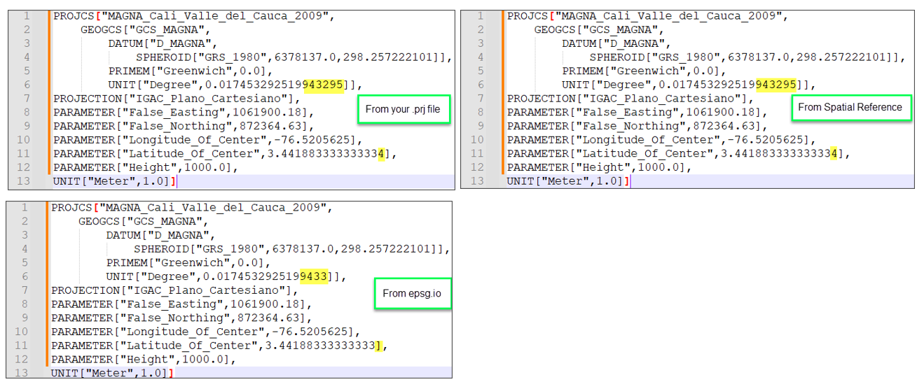
[Warning]: Warning w9020: GDAL Error <6> Cannot find coordinate operations from PROJCRS["MAGNA-SIRGAS / Cali urban grid",BASEGEOGCRS["MAGNA-SIRGAS",DATUM["Marco Geocentrico Nacional de Referencia",ELLIPSOID["GRS 1980",6378137,298.257222101,LENGTHUNIT["metre",1]],ID["EPSG",6686]],PRIMEM["Greenwich",0,ANGLEUNIT["Degree",0.0174532925199433]]],CONVERSION["unnamed",METHOD["IGAC_Plano_Cartesiano"],PARAMETER["False_Easting",1061900.18,LENGTHUNIT["metre",1,ID["EPSG",9001]]],PARAMETER["False_Northing",872364.63,LENGTHUNIT["metre",1,ID["EPSG",9001]]],PARAMETER["Longitude_Of_Center",-76.5205625,ANGLEUNIT["Degree",0.0174532925199433]],PARAMETER["Latitude_Of_Center",3.44188333333333,ANGLEUNIT["Degree",0.0174532925199433]],PARAMETER["Height",1000,LENGTHUNIT["metre",1,ID["EPSG",9001]]]],CS[Cartesian,3],AXIS["easting",east,ORDER[1],LENGTHUNIT["metre",1,ID["EPSG",9001]]],AXIS["northing",north,ORDER[2],LENGTHUNIT["metre",1,ID["EPSG",9001]]],AXIS["ellipsoidal height (h)",up,ORDER[3],LENGTHUNIT["metre",1,ID["EPSG",9001]]]]' to EPSG:4979’

Como puedo solucionar este problema?

Hola @luisfer099

Bienvenido a la Comunidad de Pix4D.

Por favor nos puede enviar el reporte de calidad y archivo log del proyecto?
Por favor vea que los archivos personalizados prj requieren de una estructra especifica para que sea aceptado por nuestro producto. Por favor vea el siguiente enlace:

Espero que esta informacion le sea de ayuda.

Le deseo un excelente dia!

Saludos cordiales

Buenos dias
te envio adjunto el log y el prj, porque el informe de calidad ni siquiera lo ha dejado hacer
Magna Cali.prj (435 Bytes)

Tramo 3-6.log (543.4 KB)

Hi Luis,

I checked the .prj file. The script looks fine. I found it is the same as the one .prj file downloaded here: Spatial Reference SR-ORG:7664. It is a little different than the one from EPSG.io: MAGNA-SIRGAS / Cali urban grid - EPSG:6249. Because the coordinate reference system can be easily and unambiguously identified with an EPSG code. Could you please download the one from MAGNA-SIRGAS / Cali urban grid - EPSG:6249 and see if it works with PIX4Dmapper?

For more information: Coordinate reference systems and 2D projections

I hope this helps.

Sincerely,
Rosana (she/her)


(Traducido)

Hola Luis,

He comprobado el archivo .prj. El script se ve bien. Encontré que es el mismo que el archivo .prj descargado aquí: Referencia Espacial SR-ORG:7664. Es un poco diferente a la de EPSG.io: MAGNA-SIRGAS / Cali urban grid - EPSG:6249. Porque el sistema de referencia de coordenadas se puede identificar fácilmente y sin ambigüedades con un código EPSG. ¿Podrías por favor intentar descargar el de MAGNA-SIRGAS / Cali urban grid - EPSG:6249 y ver si funciona con PIX4Dmapper?

Para más información: Sistemas de referencia de coordenadas y proyecciones 2D

Espero que esto le ayude.

Saludos ,
Rosana (she/her)