Hello to all,
Now I have a big project of 6000 ha aerial survey. I use Wingtraone drone and I finished the filed works; established 40 GCPs and the drone PPK was active.
Previously I tested a small project using Pix4Dmapper, created both Orthomosaic and DTM (manual DTM). I read that for large projects Pix4Dmatic is better than the mapper; any advice please.
And for the DTM creation, Pix4Dmapper is very difficult, since its auto DTM is not correct, it needs manual DTM creation. I also read that Pix4DSurvey is better for DTM creation. I downloaded Pix4Dsurvey free trial and tested the small model I have created before.
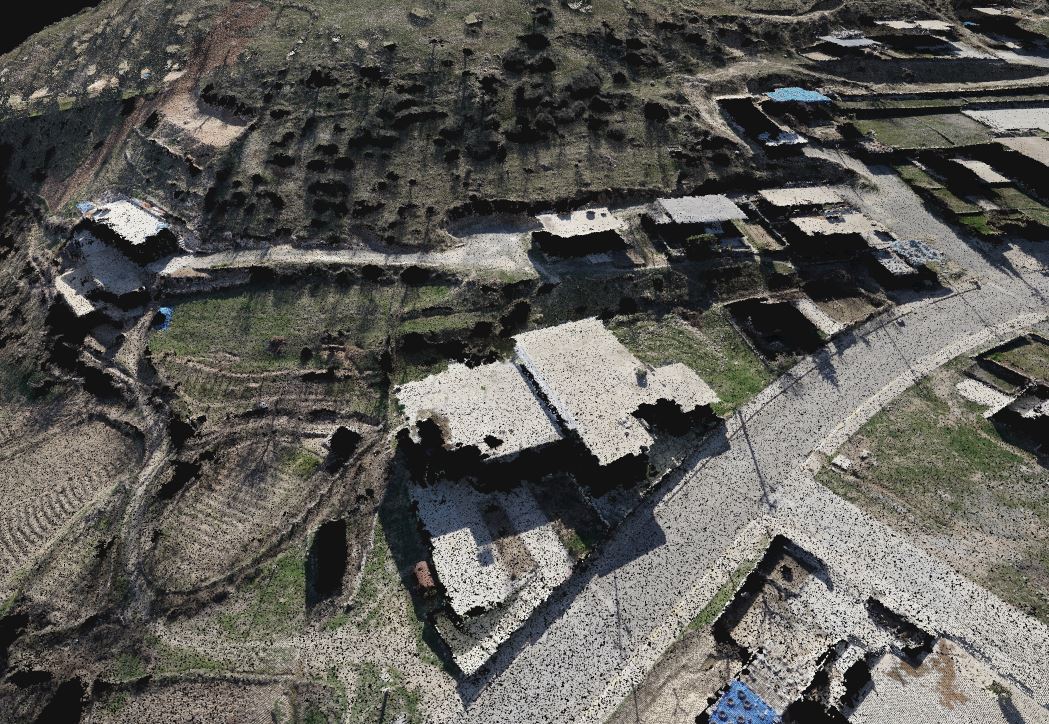
The below image is the original point cloud without deleting or disabling any thing:
In this photo, as seen, manually disabled many landmarks from the mapper:
And the last image is the auto DTM by Pix4Dsurvey, which is not correct; only few landmarks were removed!
Is there a method of deleting landmarks manually from the Pix4Dsurvey?
Regards,
Ako Shwan
I have never had much success with generating a good DTM from Pix4DMapper without a lot of manual editing of the classified point cloud. Now I import the point cloud in ArcGIS Pro and use its automated ground classification tools. Then create the DTM in ArcGIS Pro. I still have to perform some manual editing of the DTM, but it is much better than what is produced from Pix4DMapper.
1 Like
Hi @akoeng79
Thanks for trying out Pix4Dsurvey! You’ve got a challenging project there for terrain/non-terrain classification, but you should be able to get better results from Pix4Dsurvey. I’d try decreasing the sample distance, but then you’ll still have some flat roofs remaining.
For those, you can manually reassign points from terrain to non-terrain. Just hold down CTRL and drag your cursor with the left mouse button held down. That will select, and then you can right click to Assign to a new classification.
https://support.pix4d.com/hc/en-us/articles/360031902532-Pix4Dsurvey-FAQ#label2a has some more details too.
Does that help? Once you are happy with the terrain, you can continue on to a grid of points and then a TIN. The TIN can also integrate any breaklines you create.
thanks again for the feedback and for trying the software.
Nate
1 Like
Thanks Nate, I will test that editing method
Thanks Andrew for that recommendation!
Dear @Nate_Moore ,
What about Pix4Dmatic for orthomosaic; does it gives better results than Pix4Dmapper?