Hello,
I have dataset of thermal images captured using the DJI XT2 thermal camera. Pix4D fails to convert raw RGB images to greyscale thermal corresponding ones which leads to processing failures. Is there any solution for this problem ? (PS: also tried FLIR tools and obtained the same problem)
Thank you in advance.!
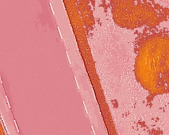
PS: a sample image is attached
Hi @y.zefri Does it give any error? Can you give a screenshot? Are you using rjpg image format? We would need at least 5-6 images to test in Pix4Dmapper.
Hi, Pix4DMapper is correctly converting the rjprg to tif images here. The error is due to uncalibrated images which happens if the software is not able to extract keypoints and match them. Generally it is due to insufficient overlap or incorrect camera parameters. Can you send me a screenhsot of the mapview in Pix4D? What was the frontal and side overlap? I will need the logfile for troubleshooting. One more thing, the pixel size is incorrect, you will need to edit it and change the value to 17. Process step 1 again, let me know how it goes.
Hello,
The overlaps were 90% for the end-lap and the same for the side-lap.
For the camera parameters, I have an image bloc having been acquired with the Zenmuse XT2 and that has been processed correctly with the same shown parameters. Changing the value to 17 changes nothing unfortunately, the problem persists.Logfile.txt (1.5 MB)
I have attached the logfile. Thank you very much in advance.
It might be an issue where due to some missing exif tags, Pix4D is unable to extract any keypoints from the tif image (as the rjpeg to tif extraction generates images with no variability in such a case). Can I have 5-10 of your images? I could then confirm and you would need to reach out to the hardware manufacturer. You could also check the converted tif images in QGIS.
Hello,
Please find below a sample of 9 images. Raw images aren’t uniform, they have a variabality and keypoints can be extracted from them, but the ones obtained after the Pix4D conversion have unique pixels values which make it impossible for keypoints extraction. Not all acquired images have this conversion problem. We have obtained from the same UAV/Cemera thermal images, in another flight bloc, who have been succesfully converted for keypoints extraction.
That means due to some reason some EXIF tags are missing. You will need to contact the hardware manufacturer so this doesn’t happen in the future. For teh conversion, Pix4D uses a FLIR SDK and if some tags are missing, the conversion will be incorrect.
Thank you for the clarification but it seems that i don’t quite understand the situation.
What are the missing tags ? How come that we’ve got by the same camera images that have successed the conversion ? And is there any way to fix those images cause we cannot do again this flight, not anymore.
Thank you in advance.
Hi, sorry for the delay. We think this has something to do with the hardware as I mentioned. I checked in FLIR tools and the images in the folder thermalimages do not show up whereas the images that convert correctly do
These cookies are necessary for the website to function and cannot be switched off in our systems.
They are usually only set in response to actions made by you which amount to a request for services, such as setting your privacy preferences,
logging in, or filling in forms. These cookies do not store any personally identifiable information.
These cookies allow us to count visits and traffic sources so we can measure and improve the performance of our site.
They help us to know which pages are the most and least popular and see how visitors move around the site.
All information these cookies collect is aggregated and therefore anonymous.
If you do not allow these cookies we will not know when you have visited our site, and will not be able to monitor its performance.
These cookies may be set through our site by our advertising partner (Google).
They may be used by Google to build a profile of your interests and show you relevant adverts on other sites.
They do not directly store personal information but are based on uniquely identifying your browser and internet device.
If you do not allow these cookies, you will experience less targeted advertising.


