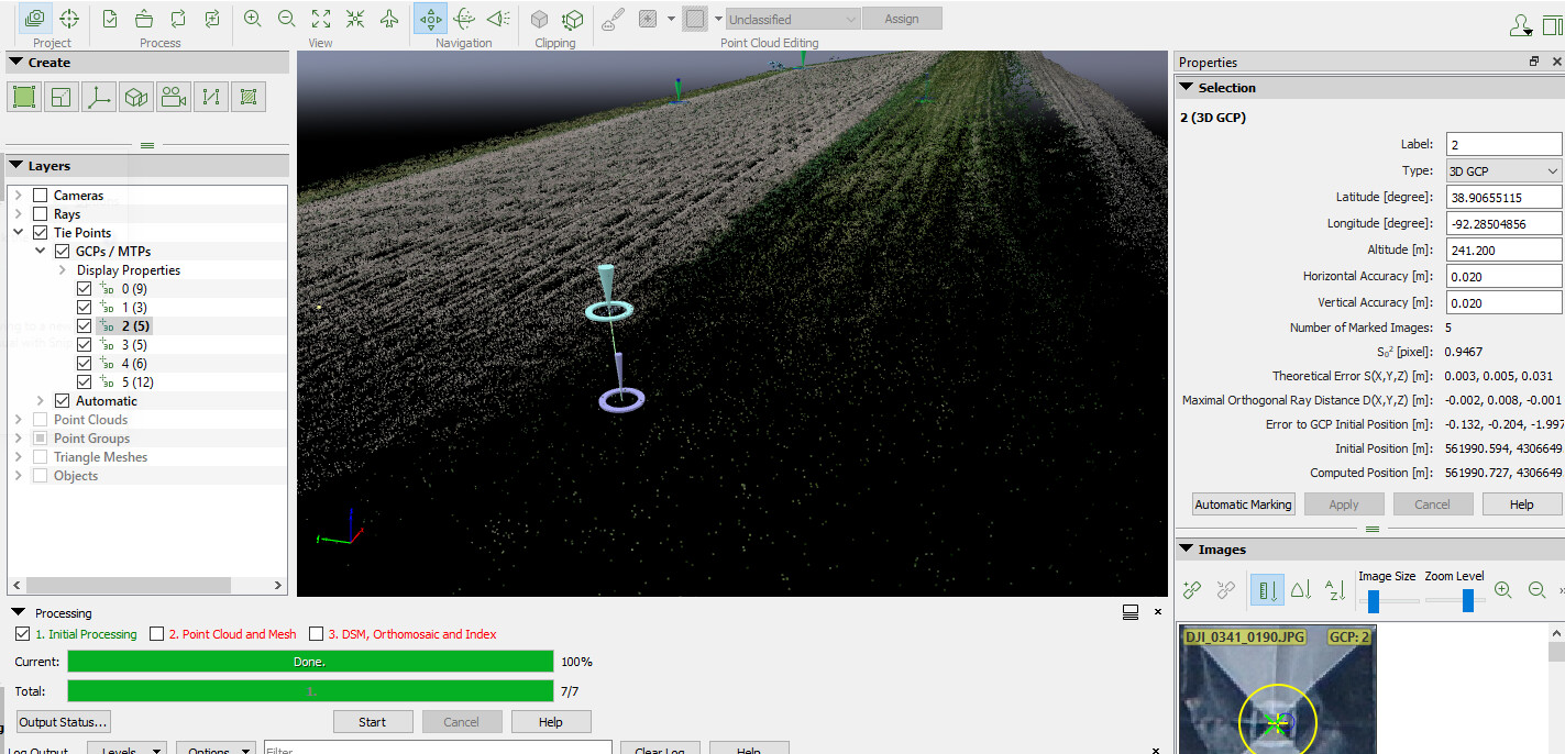
There are 6 GCPs around a corn field. I entered the coordinates we recorded in the field for the GCPs and after processing 2 of the ATPs associated with the GCPs are at a lower altitude than the coordinates I entered, giving me poor georeferencing on my quality report.
Any ideas for fixing this? There are 3 GCPs in a row along a field edge, could that be causing error?
Attached is a quality report.
Thanks so much!
Gen3_062822_report.pdf (730.1 KB)