Hi. Other than getting elected measurements, is there anything that comes close to what is in the video link below:

If so, please let me know,
Nani.
Hi. Other than getting elected measurements, is there anything that comes close to what is in the video link below:
If so, please let me know,
Nani.
Hi Nani,
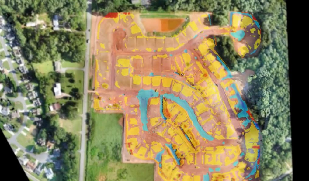
I watched a bit of the video. PIX4Dsurvey can do much of what Virtual Surveyor can but in a much more automated way. For example, there is no need to manually removed every machine that is in your survey area. PIX4Dsurvey can automatically classify the point cloud and remove those features.
Hi. I would love to know how to see the volume difference feature in cubic feet or cubic yard. If you see the video, quantity of dirt moved for every area separately helps a lot in monitoring the progress.
Please watch till the end. From 4 and half minutes, you will notice the comparison of different weeks progress. That helps developers a lot in monitoring progress. They ask us for that. If that feature is already available, please let me know where it is in documentation.
Thanks for your response.
Nani.
Hi Nani,
Unfortunately that feature is not currently available in PIX4Dsurvey. I highly suggest posting the PIX4Dsurvey feature request category. Our team closely monitors these posts and the more popular requests will get implimented.