I am using Pix4D Fields trial version before purchasing. I am using a DJI Phantom 4M, 75 overlap front and 65 overlap side, ideal field conditions with no wind. Fast and/or accurate processing (TIFF and JPG separate) produces a distorted orthomosaic map. Based on other topics in the community, I also stopped the GPU for processing, and got the same result. I have also calibrated the drone and reflown the area with the same processing result. Any suggestions how I could improve the mapping or is it a software issue?

Hi,
Can you check that the images have a black vignette? This could be related to the dewarping correction being ON.
Hello Jose,
Thank you for replying.
The images do not have a black vignette. I tried another dataset of pictures and it processed well. So, I repeated the previous one and got the same issue. Both datastes of pictures were obtained from the samae drone with the same settings.
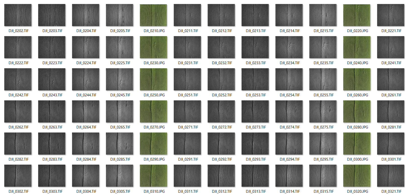
Thanks for sharing the information. I see that the RGB images have a dewarping correction and that could be causing the problem.
It may be that the previous flight did not include the radiometric correction. Can you check?
Please also share the log files, Open the project and go to Export, Log files.