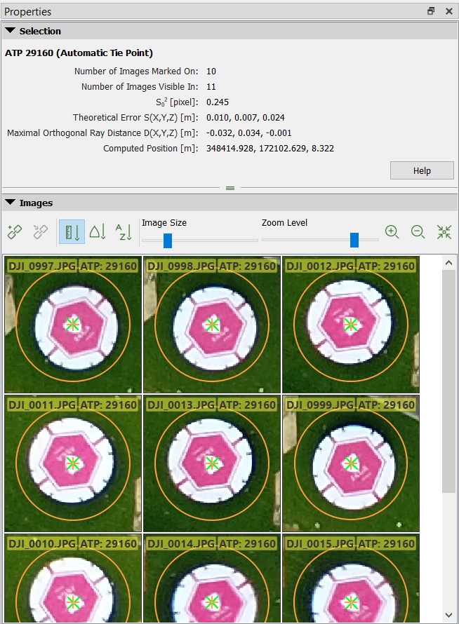
Good day everyone, I have a question when processing the UAV file.
The problem occurs when I tried processing the file in 2 different ways on same location
- A project with 100 photos
- The same project, with much bigger location, and over 300 photo.
The end result gave me a height difference of almost double (8m and 18m). Is there any way to solve this issue? Please view the image below, thank you…
FYI: This project has no GCP and also processed using the same setting…Thank you